Tropical Storm Maymay Moves Near Northwest Luzon, Prompts Signal No. 2
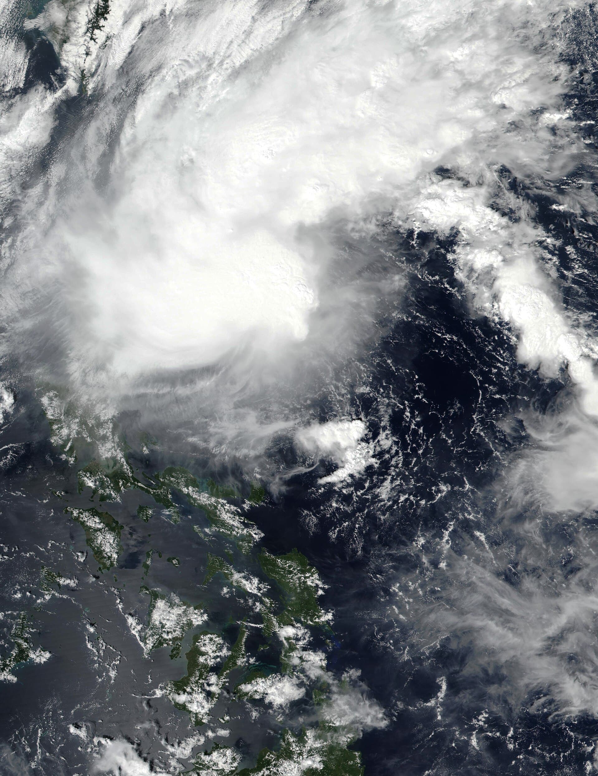
At 7 a.m. on Aug. 5, Maymay was reported about 170 km west of Bacnotan with 65 kph winds and gusts to 80 kph; Signal No. 2 covers parts of northwest and central Luzon.
At 7 a.m. local time on August 5, 2026, Tropical Storm Maymay was reported about 170 kilometres west of Bacnotan, La Union, with sustained winds near 65 kph and gusts up to 80 kph. Reports indicate the system was moving slowly westward at that time.
Public Storm Signal No. 2 was raised in several areas of northwest and central Luzon. The named areas reported under the signal include parts of Ilocos Sur, La Union, Pangasinan, Abra and Mountain Province, according to official advisories.
Some reports indicate the local name Maymay corresponds to the international name Kujira. That naming correspondence has been noted alongside the position and intensity details in public advisories.
Current position and observed winds
Maymay’s reported position — roughly 170 km off Bacnotan, La Union — and measured winds reflect the storm’s status at 7 a.m. on August 5. Observations cited sustained winds near 65 kph with higher gusts up to about 80 kph, and the system was described as moving slowly westward.
Areas covered by Public Storm Signal No. 2
Authorities raised Public Storm Signal No. 2 for multiple provinces in northwest and central Luzon, specifically naming parts of Ilocos Sur, La Union, Pangasinan, Abra and Mountain Province. Those advisories indicate where elevated wind conditions and related hazards are expected given Maymay’s reported intensity.
The situation remains dynamic; the confirmed details above reflect the advisories and reports issued at the noted time.